Methods and Community
Google Earth Engine and QGIS: Free Analysis Tools
One tool computes on petabytes in the cloud, the other runs offline on a district laptop. How QGIS and Earth Engine share one analysis workflow.
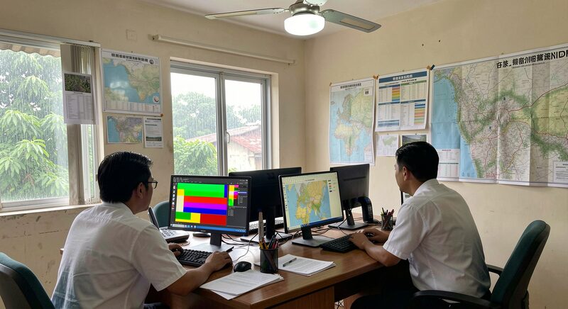
Two free software traditions now carry most of the working remote sensing done in Asia, and they answer the same need in opposite ways. Google Earth Engine, launched in 2010, moved the computation to the cloud and the archives with it, so an analyst's laptop commands a data centre. QGIS, an open-source desktop geographic information system whose first releases date from 2002, keeps every step of the work on the analyst's own machine, visible and inspectable, in software anyone can download. Between them they replaced a landscape of expensive licences that once priced regional laboratories out of their own imagery. This guide compares the two honestly, because choosing between them, or combining them, is one of the real decisions of an Asian mapping project.
What Earth Engine changed
The idea behind Earth Engine is simple and radical: stop moving the data to the computer, and move the computer to the data. The platform holds petabytes of ready-processed imagery, the Landsat and Sentinel archives described in the guide to free satellite imagery of Asia among them, already ingested and corrected. A user writes a short script that describes a computation, and the platform executes it across the archive in parallel, returning only the result, a map, a statistic, a chart. Tasks that structured a laboratory's year in the licence era, a decade of composites over a whole country, become an afternoon's script. The gain is not only speed but feasibility: analyses that were simply not attempted, because no institution would fund the data handling, now appear in student theses. The costs arrive later in this guide, and they are real, but the change in what regional teams can attempt is not in dispute.
What QGIS offers that the cloud does not
QGIS grew through two decades of open-source development into a full desktop GIS: layers, cartography, digitising, a plugin ecosystem, and integration with the command-line geospatial stack underneath. Its virtues are the mirror image of the cloud's. The software and the data sit under the analyst's control, so work continues when the connection does not, a condition met in exactly the district offices where satellite maps serve agriculture and disaster response. Every intermediate step can be inspected on screen, which matters for the validation culture of the guide to ground truth, where checking means seeing the pixels, not trusting a service. Files persist in open formats rather than inside a platform, and an office's accumulated project survives changes of budget, policy or connectivity. For teams whose products are finished maps rather than server pipelines, the desktop remains the natural home.
The honest limits of each
Earth Engine's strengths are its dependencies. Work requires connectivity, and heavy computation is metered by quota, so a scripted analysis that scales beautifully to a country can stall at continental scale until credits are arranged. The scripting approach has a learning curve that filters out exactly the occasional users GIS serves best. The platform is a corporate service, not a public utility, and laboratories that built their workflows entirely inside it carry that concentration risk knowingly. QGIS faces the opposite constraints: it processes what fits on the machine, so a multi-year, multi-country time series overwhelms a laptop unless the team writes code beside the point-and-click, and reproducibility across a dispersed team takes deliberate discipline, since a saved project is not the same thing as a documented pipeline. Neither limit disqualifies either tool; both belong in the project plan.
How working teams actually combine them
In practice the two traditions meet in the middle of most real workflows. A common pattern runs the heavy archive computation in Earth Engine, seasonal composites, classification over a delta, the time-series machinery behind the paddy maps of the guide to rice paddies seen from orbit, then exports the result and finishes it on the desktop: cartography, field-map printing, integration with administrative records and the layout polish a printed product needs. The reverse hand-off also occurs, when field-validated points assembled and cleaned in QGIS are uploaded as training data for a cloud classification. Teams that treat the tools as one pipeline with two halves report the fewest regrets, and the tutorial ecosystem that grew around both, much of it written by the regional community described in the guide to methods and community, has settled this division of labour by convention more than by decree.
Where to start with each
Both entry points are free. QGIS can be downloaded from the project's own site, qgis.org, in installers for every mainstream operating system, with a stable release cycle and documentation in many languages; a first evening spent loading one satellite scene and styling it teaches the interface. Earth Engine registers through a web interface and runs in the browser, its code editor arriving with a script of sample analyses a newcomer can run before understanding, then modify, then write. Regional training courses, university curricula and the annual conference circuit all teach both, and a practitioner fluent in one can expect to be conversational in the other within a project or two, a fluency the sensor-choice chain of the guide to choosing satellite data for work in Asia quietly assumes.
Why the choice of tools is a real decision
Software choices look technical and are partly institutional. A national agency that must keep functioning through connectivity outages weighs the desktop tradition more heavily. A research group competing on continental-scale analysis leans cloud. A district office with one shared machine and intermittent power needs free, offline, forgiving tools, which is one quiet reason the open-source desktop spread as it did across the region's public institutions. What the field has gained, two decades into both traditions, is that the licence barrier is gone: a student in any Asian country can now do, without budget, work that once required institutional subscriptions. The craft that remains to be learned, framing the question, choosing the sensor, validating the result, is exactly the craft this magazine documents, and no tool chooses it for you.