An independent magazine on satellite remote sensing across Asia
The Asian landscape, read from orbit and checked on the ground
An independent magazine on satellite remote sensing across Asia: where the data comes from, what it shows of the continent, and how field checks make the maps honest.
Three desks
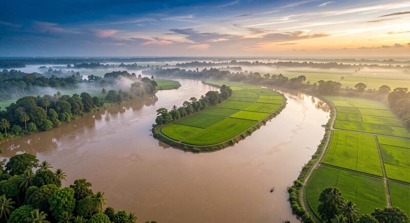
One continent, three questions
Where the images come from, what they show of Asian land, water and cities, and how the people who use them keep the maps honest. Each desk opens onto its own index of guides.
 Desk 01
Satellites and Data
Where the images come from: the open archives, the national fleets of Japan, India, Korea, Thailand and China, and the weather satellites that never blink.
 Desk 02
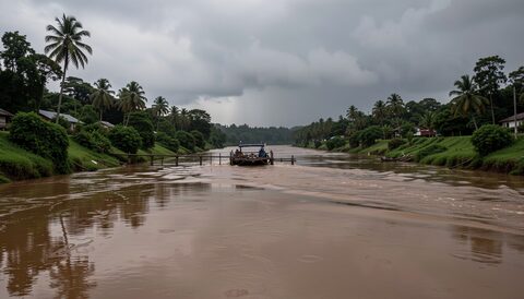
Land, Water and Cities
What the images show of the continent: monsoon floods, rice harvests, megacities on the move and haze that ignores borders.
 Desk 03
Methods and Community
How the work is done and argued over: ground truth, free software, classification and the annual conference circuit.
Recent dispatches
Latest from the desks
New guides as they are filed: free imagery, real-time weather, flood mapping, urban growth, field validation and the conference archive.
Satellites and Data
Free Satellite Imagery of Asia
Landsat and Sentinel-2 cover all of Asia every few days at no cost. What each archive offers, how to search by place and date, and what the scenes cannot do.
Landsat and Sentinel-2 cover all of Asia at no cost.
Satellites and Data
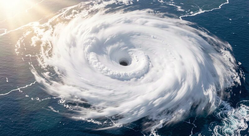
Himawari: Asian Weather from Orbit in Real Time
From the equator the Himawari satellites photograph Asia and the Pacific every ten minutes. How forecasters, sailors and flood teams read that stream.
The whole disk photographed every ten minutes.
Land, Water and Cities
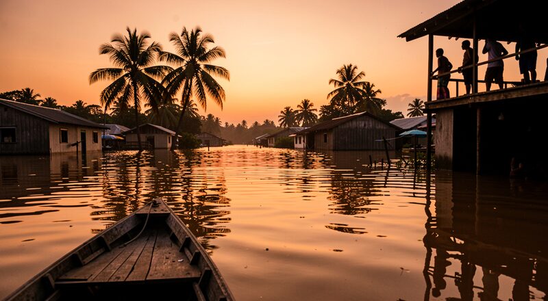
Mapping Asian Floods From Orbit
When monsoon rivers rise, radar satellites see through cloud and map the water. How flood extent maps are built and used, from relief to river basin planning.
Radar finds the water under monsoon cloud.
Land, Water and Cities
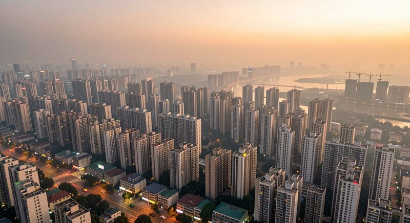
How Asian Megacities Grow, Seen From Orbit
Jakarta, Dhaka, Manila and Chengdu keep spilling outward. How image time series measure urban growth, and why planners watch the fringe, not the skyline.
The fringe grows faster than the skyline.
Methods and Community
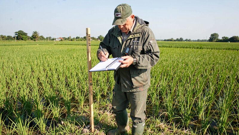
Ground Truth: Validating Satellite Maps in the Field
Every land-cover map rests on points someone walked to. How field campaigns are planned, what a GPS record proves, and why honesty about errors matters.
Map points someone walked to.
Methods and Community
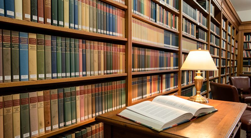
The ACRS Proceedings, Year by Year
Four decades of Asian Conference on Remote Sensing papers, from mimeographed 1980 sessions to PDF sessions: what the proceedings hold and where to find them.
Four decades of papers, free to read.
Desk 1 of 3
Satellites and Data
Where the images come from: the open archives, the national fleets of Japan, India, Korea, Thailand and China, and the weather satellites that never blink.
Satellites and Data
Free Satellite Imagery of Asia
Landsat and Sentinel-2 cover all of Asia every few days at no cost. What each archive offers, how to search by place and date, and what the scenes cannot do.
Landsat and Sentinel-2 cover all of Asia at no cost.
Satellites and Data
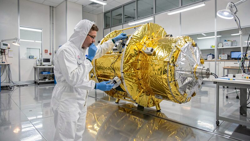
Asia's Own Earth Observation Satellites
Japan's ALOS, India's Cartosat, Korea's KOMPSAT, Thailand's THEOS and China's Gaofen fleet: what each national mission observes and who can order its images.
ALOS, Cartosat, KOMPSAT, THEOS, Gaofen.
Satellites and Data
Himawari: Asian Weather from Orbit in Real Time
From the equator the Himawari satellites photograph Asia and the Pacific every ten minutes. How forecasters, sailors and flood teams read that stream.
The whole disk photographed every ten minutes.
Desk 2 of 3
Land, Water and Cities
What the images show of the continent: monsoon floods, rice harvests, megacities on the move and haze that ignores borders.
Land, Water and Cities
Mapping Asian Floods From Orbit
When monsoon rivers rise, radar satellites see through cloud and map the water. How flood extent maps are built and used, from relief to river basin planning.
Radar finds the water under monsoon cloud.
Land, Water and Cities
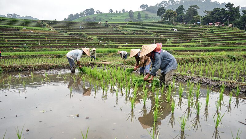
Rice Paddies Seen From Orbit
Rice grows in flooded fields that satellites read well. How time series track planting, flooding and harvest, and why forecasts start with a good paddy map.
A paddy season followed week by week.
Land, Water and Cities
How Asian Megacities Grow, Seen From Orbit
Jakarta, Dhaka, Manila and Chengdu keep spilling outward. How image time series measure urban growth, and why planners watch the fringe, not the skyline.
The fringe grows faster than the skyline.
Land, Water and Cities
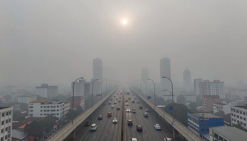
Watching Asian Air Pollution From Orbit
Haze does not stop at borders. Sensors such as Sentinel-5P and GOSAT track the gases above Asian cities, and the maps feed health advisories.
The haze season has a satellite clock.
Desk 3 of 3
Methods and Community
How the work is done and argued over: ground truth, free software, classification and the annual conference circuit.
Methods and Community
The ACRS Proceedings, Year by Year
Four decades of Asian Conference on Remote Sensing papers, from mimeographed 1980 sessions to PDF sessions: what the proceedings hold and where to find them.
Four decades of papers, free to read.
Methods and Community
Ground Truth: Validating Satellite Maps in the Field
Every land-cover map rests on points someone walked to. How field campaigns are planned, what a GPS record proves, and why honesty about errors matters.
Map points someone walked to.
Methods and Community
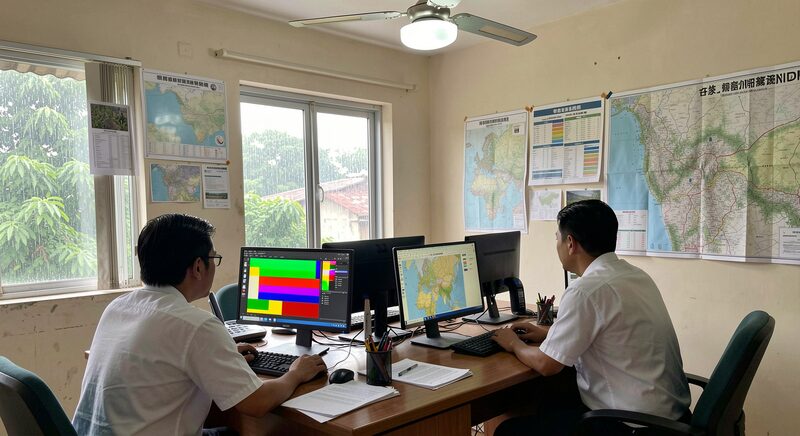
Google Earth Engine and QGIS: Free Analysis Tools
One tool computes on petabytes in the cloud, the other runs offline on a district laptop. How QGIS and Earth Engine share one analysis workflow.
Petabytes in the cloud, finished maps on a laptop.
Methods and Community
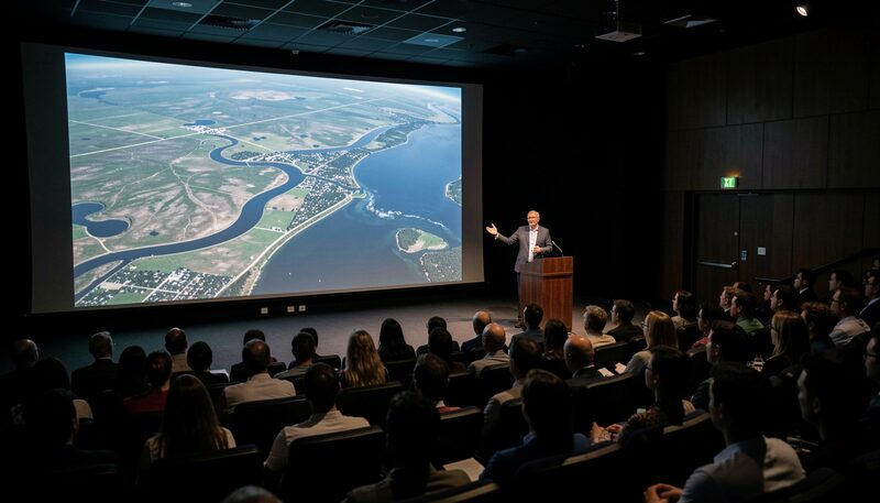
ACRS: Asia's Annual Remote Sensing Conference
Since 1980 the Asian Conference on Remote Sensing has moved from capital to capital, publishing open proceedings. What happens there and how to take part.
The annual meeting, capital to capital since 1980.
Where to start
Three doors for a first visit
A rice season followed from orbit, the two free tools that carry an analysis, and the satellite clock of the haze season: three guides that explain what the desk does better than any definition.
Land, Water and Cities
Rice Paddies Seen From Orbit
Rice grows in flooded fields that satellites read well. How time series track planting, flooding and harvest, and why forecasts start with a good paddy map.
One image is a photograph; a season of them is a map.
Methods and Community
Google Earth Engine and QGIS: Free Analysis Tools
One tool computes on petabytes in the cloud, the other runs offline on a district laptop. How QGIS and Earth Engine share one analysis workflow.
Two free tools carry a whole analysis workflow.
Land, Water and Cities
Watching Asian Air Pollution From Orbit
Haze does not stop at borders. Sensors such as Sentinel-5P and GOSAT track the gases above Asian cities, and the maps feed health advisories.
A satellite clock for the haze season.