Satellites and Data
Choosing Satellite Data for Work in Asia
Frame the project, pick sensor, resolution, dates and licence, then find the archives that serve Asia well, from free Landsat scenes to paid tasking.
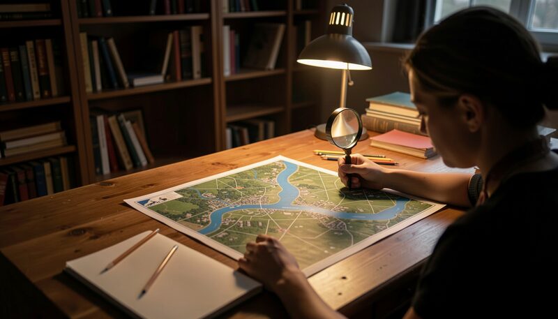
A satellite data project in Asia usually begins with a simple request: a map of a river basin, a count of fields, a view of a city fringe. Between that request and a finished map stands a chain of choices about sensors, dates, licences and archives. This guide walks through those choices in the order a working analyst meets them, with the Asian archives and missions that serve each step well.
What question is the data supposed to answer?
The first decision happens before any download. A team that must outline flooded villages after a monsoon storm needs different pixels from a team that tracks glacier retreat over thirty years. The flood team needs images from the days around the event, at a resolution fine enough to separate houses from fields, and a sensor that sees through cloud. The glacier team needs consistency above all: the same sensor, the same calibration, over decades. Writing the question in one sentence, with the place, the time window and the object to be mapped, removes half the later confusion. Analysts who skip that sentence tend to collect data first and discover the mismatch later.
Which sensor family fits the phenomenon?
Three broad families cover most Asian work. Optical sensors, such as the camera-like instruments on Landsat and Sentinel-2, record reflected sunlight in visible and infrared bands. They suit land cover, crops, water bodies and urban form, and they are easy to read, but clouds block them. Radar sensors, such as Sentinel-1 or the Japanese ALOS-2, send their own microwave pulse and measure the echo, which lets them image the ground at night and straight through cloud. They suit floods, soil moisture, subsidence and forest structure, at the cost of noisier images that take practice to interpret. Thermal and atmospheric sounders, carried on weather satellites such as Himawari, measure temperature, water vapour and aerosols rather than surface shape, and they revisit every few minutes instead of every few days. Many real projects combine two families, for example radar to map flood extent and optical imagery to read the land use underneath.
How do resolution and revisit time trade off?
A sensor that resolves one-metre objects on the ground cannot photograph the whole continent every day; the optics and the radio links do not allow it. Free civil missions settle between ten and thirty metres, revisit every few days, and cover all of Asia without being asked. Commercial tasking satellites reach tens of centimetres and can be aimed at one district on a chosen morning, but each scene is ordered and paid for. A practical rule from basin studies: match the pixel to the smallest object that must be recognised, not to the smallest object that exists. Counting rice paddies works at ten metres. Reading field bunds needs two metres. Spotting a single truck does not enter most public-interest work at all. When a phenomenon changes fast, such as a flood crest, revisit time matters more than pixel size, and a coarse daily image beats a sharp monthly one.
Where are the archives that serve Asia well?
The two free pillars are described in detail in the guide to free satellite imagery of Asia: the Landsat archive held by the United States Geological Survey, and the Sentinel fleet served through the Copernicus Data Space Ecosystem. Both cover every Asian country, both go back years or decades, and both cost nothing beyond registration. Around them sit national archives: Japan's JAXA portal for the ALOS radar family, India's ISRO for the long IRS and Cartosat record, and the distributed services of Korea, Thailand and China described in the survey of Asia's own Earth observation satellites. Weather and atmosphere follow a separate path, since geostationary satellites such as Himawari publish their full-disk scans on open portals within minutes. The habit that saves time is to search by place and date window first, across catalogues, before committing to one sensor.
What does the licence allow?
Free does not always mean unrestricted, and the difference shows up at publication time. Landsat and Sentinel data carry open licences that allow maps, reports and commercial products built on the scenes, with attribution to the programme. National mission data often sits in a middle tier: sample scenes are open, systematic national coverage is reserved for government users, and commercial resale is negotiated case by case. Commercial tasked imagery usually forbids redistribution of the raw scene while allowing derived maps. A team that plans to publish a flood atlas, or to hand datasets to a province office, should record the licence of every scene in the project log on the day it is downloaded. Reconstructing those terms a year later, from memory, is how published maps get withdrawn.
How much preprocessing is realistic?
A raw scene is a starting point, not a map. Optical scenes need at least a cloud mask and often an atmospheric correction before comparisons across dates make sense. Radar scenes need terrain flattening and speckle filtering before a human eye can read field edges. Time series, the backbone of crop and urban work, need co-registration so that a pixel in one image covers the same ground in the next. The free cloud platforms described in the guide to Google Earth Engine and QGIS absorb much of this work, because they serve ready-corrected collections. Teams working offline in district offices often trade that convenience for control, and the choice between the two styles is a real project decision, not a technicality.
What does a healthy order of work look like?
Experienced teams in the region tend to follow the same sequence. Frame the question in one sentence. Sketch the expected map on paper, with a legend. Pick the sensor family from the phenomenon, then the resolution from the smallest object. Search the free archives before considering tasking, and order commercial scenes only for the gap the free record cannot fill. Log every scene with its date, licence and processing level. Validate the draft map against points checked on the ground or against trusted photographs, in the spirit of the ground truth discipline. Publish with the method attached, so the next team can rebuild the chain. Each step feeds the one after it, and the failures that look like software problems are usually a skipped step two or three places upstream.
Where can a reader see these choices applied?
The rest of this magazine applies the same chain to Asian questions. The section on land, water and cities shows the sensor trade-offs on floods, rice, megacities and haze, while the section on methods and community follows the people and the validation culture behind the maps. For a first search across a home region, the Copernicus Data Space Ecosystem browser offers a map window, a date filter and instant previews without any payment, which makes it a reasonable place to spend the first hour of any project.

Satellites and Data
Free Satellite Imagery of Asia
Landsat and Sentinel-2 cover all of Asia every few days at no cost. What each archive offers, how to search by place and date, and what the scenes cannot do.
Landsat and Sentinel-2 cover all of Asia at no cost.
Satellites and Data
Asia's Own Earth Observation Satellites
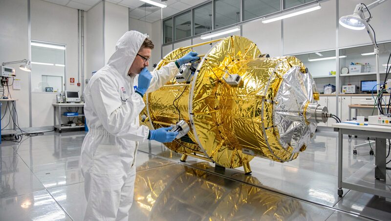
Japan's ALOS, India's Cartosat, Korea's KOMPSAT, Thailand's THEOS and China's Gaofen fleet: what each national mission observes and who can order its images.
ALOS, Cartosat, KOMPSAT, THEOS, Gaofen.
Satellites and Data
Himawari: Asian Weather from Orbit in Real Time
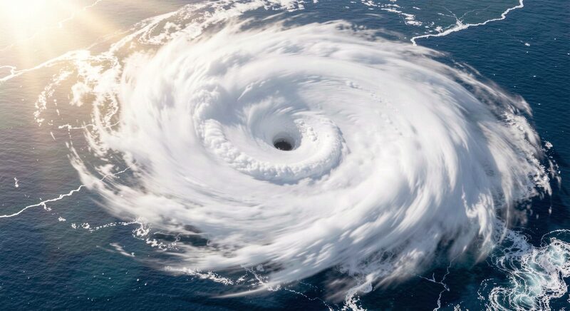
From the equator the Himawari satellites photograph Asia and the Pacific every ten minutes. How forecasters, sailors and flood teams read that stream.
The whole disk photographed every ten minutes.